Background: The Murky Water Challenge
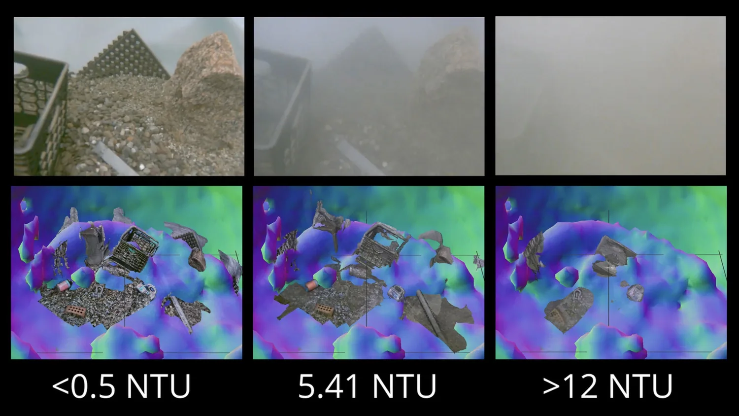
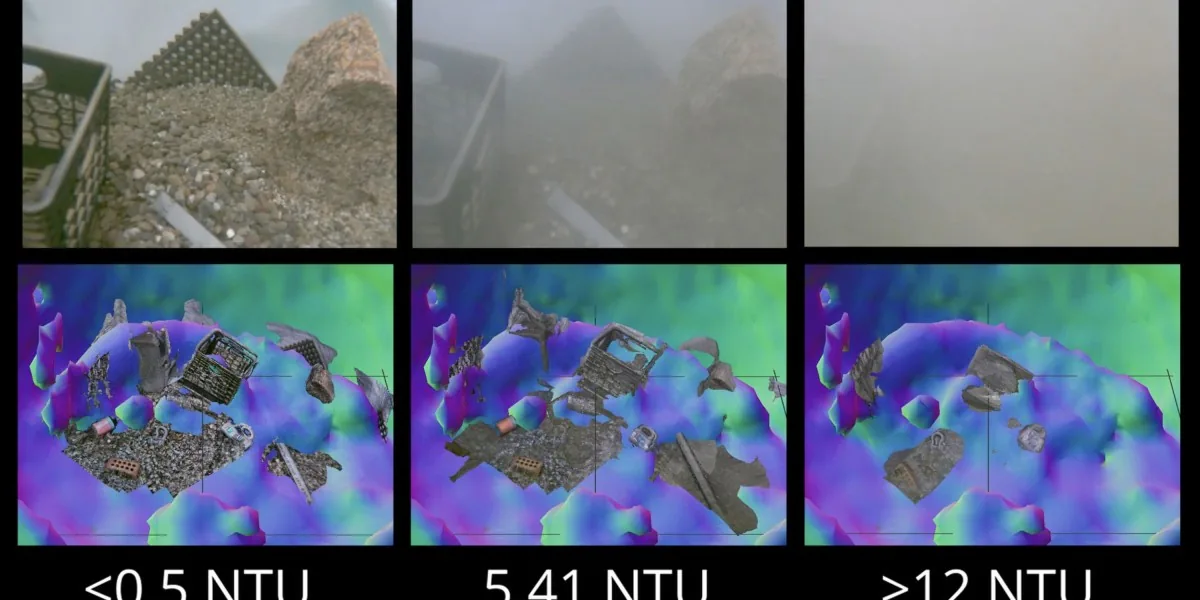
When remotely operated vehicles (ROVs) rest on the seafloor or dig into the seabed, they often stir up sediment, creating cloudy water that makes it difficult for the vehicle’s cameras to see the surrounding environment. In the past, operators typically had to wait for the silt to settle before continuing their work. A new system developed by Amy Phung (SM ‘23, PhD ‘26) and her advisor Richard Camilli (SM ‘00, PhD ‘03) at the Woods Hole Oceanographic Institution (WHOI) offers a fresh approach to this problem.
How It Works: Sonar First, Camera Second
The core of the system lies in a “sense first, confirm later” workflow:
- Step 1: Rapid sonar mapping – The vehicle first deploys sonar to scan the surrounding environment. Sonar creates images through acoustic echoes and works in both cloudy and clear water, though it lacks the fine resolution of cameras.
- Step 2: Real-time depth estimation – The researchers combined sonar technology with an image-matching algorithm developed by French researchers. This algorithm can quickly estimate the relative depth of each pixel in a 2D scene, accelerating map processing and enabling real-time application.
- Step 3: Visual inspection up close – Using the spatial information provided by the sonar and algorithm, the vehicle can safely approach a specific target, after which the camera performs a more detailed observation.
Camilli explained the technology with an analogy: “It’s like you’re feeling around in a dark china shop, trying to find a specific coffee cup without knocking over anything else. This technology lets you do exactly that.”
Application Scenarios and Industry Value
Phung and Camilli note that this technology can be applied to various underwater tasks:
- Scientific exploration: Helping ROVs approach research subjects more safely in environments where visibility is compromised by disturbances;
- Underwater construction and maintenance: Reducing the impact of sediment obstruction on operational pacing during seafloor facility work;
- Unexploded ordnance disposal: Providing robots with more reliable spatial awareness when approaching targets in high-risk missions.
One notable point: underwater operations cannot always rely on higher-resolution cameras to solve the problem. When sediment blocks the view, lower-resolution but more stable sonar, combined with fast algorithmic processing, can actually make up for the shortcomings of visual systems. This demonstrates the practical value of multimodal sensing in underwater robots.
Practical Recommendations
- Scenarios worth prioritizing: ROV teams that frequently operate in waters with significant sediment disturbance—such as seafloor sampling, inspection, search missions, or close-proximity operations;
- Scenarios where evaluation can be deferred: If the operational environment is consistently clear and cameras alone can accomplish the main tasks, the decision to deploy should be weighed against mission frequency, integration complexity, and cost.
Final Thoughts
The physical constraints of the underwater environment have long limited ocean exploration and seafloor operations. The value of this technology lies not in simply upgrading camera hardware, but in fusing sonar with algorithms to help robots build spatial awareness faster in turbid conditions, offering a viable path toward more reliable autonomous or remotely operated underwater missions.